
Aircraft Vs. Drone: Which is Best?
Written By Kent Raney
Use Aircraft or Drone?
Aircraft Vs. Drone, which is better? This is a common question brought up by new clients and the simple answer is; It depends. Colorado Aerial Photography and Mapping, LLC unlike most of the new entrants to this business, has the capability to use either our company Cessna Turbo 210 aircraft or our DJI drone as the situation warrants. Since the FAA approved drones to be used legally for commercial photography (under certain conditions under Federal Aviation Regulations Part 117) numerous new companies were formed utilizing drones for 100% of their work.
The traditional aircraft can be used to fly much higher and capture a view of a very large area around the property…
Aircraft Vs. Drone? Drones can be a very capable tool for photographing certain subjects, but they can also be less desirable or even illegal for others. Examples of subjects that can be ideal candidates for drone photography are residential real estate, construction sites and small mapping projects among others. Drones are limited by law to operating no higher than 400 feet above the ground.
Limitations of Drones
One example of where this limitation is a problem would be in photographing commercial real estate. The traditional aircraft can be used to fly much higher and capture a view of a very large area around the property, which is useful in showcasing the location of the property and the proximity to businesses, highways, etc. We can capture equal or better quality close up views from the aircraft utilizing professional quality telephoto lenses so there is no trade off on the low altitude views either.
Logic would suggest that drone photography would be much less expensive to produce but again, this depends. For a one site photo shoot near our office, it is definitely less expensive to drive to the site, fly the drone and then return to the office. Flying the Cessna for this assignment would add at least $150 to the cost. The aircraft can be much more efficient than a drone when it comes to construction progress photography however. These sites are typically flown on a set schedule at certain times of the month for the length of the construction project. Several or even dozens of sites can be photographed in one day during the same flight, whereas driving to each individual site, setting up and flying the drone, charging batteries, driving to the next site, etc. could take several days or all week to accomplish. The cost to produce a number of construction sites is much lower when flying the aircraft.
Many locations are too close to an airport to be flown with a drone. Obviously a traditional piloted aircraft has no such restriction. We are currently flying bi-weekly flights of a site near Denver International Airport that would be off limits to drone operations.
We have performed mapping services of entire cities from our Cessna, which would be impossible with a drone.
We are not advocating for eliminating drones from consideration because they can be the right tool for the job when conditions allow. It’s good to have a company that can offer both services so you can utilize whichever makes the most sense.
Our Featured Videos


-

- Delicate Arch at sunset

More Posts
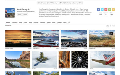
Owner Kent Raney’s photography now on Fine Art America
Colorado Aerial Photography and Mapping owner Kent Raney has recently added some of his best images for sale on Fine Art America. All of the photos featured on the site are available in a multitude of formats for purchase. There are options for metal prints, canvas,...

Night Aerial Photography, Is it possible?
Over the past 18 years in business, we have had the occasional request for nighttime photos. Given the right circumstances this can be possible. A camera’s function is to take in visible light and record it. In the old days of film photography, the incoming light...
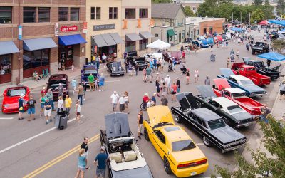
Event Aerial Photography Drones & Aircraft
Event Aerial Photography: We get requests to take aerial photos of an event. When our schedule allows we are happy to accommodate. Our business is very weather dependent, so planning on aerial photography for a specific date and time always involves…