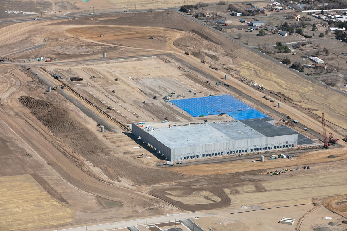
Construction Progress Aerial Photography
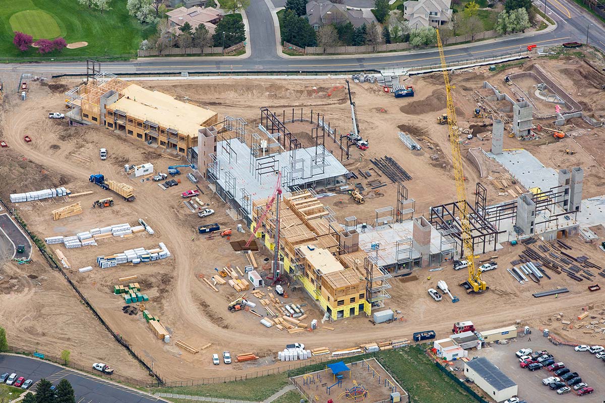
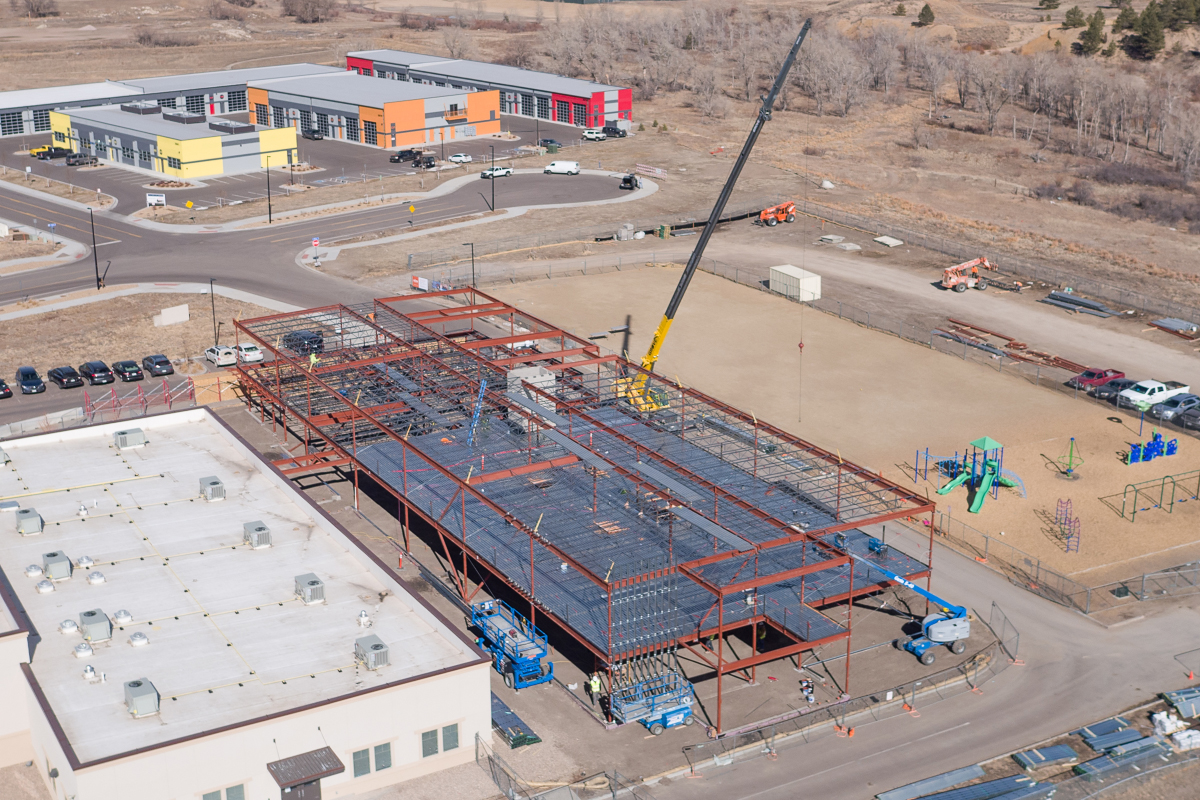
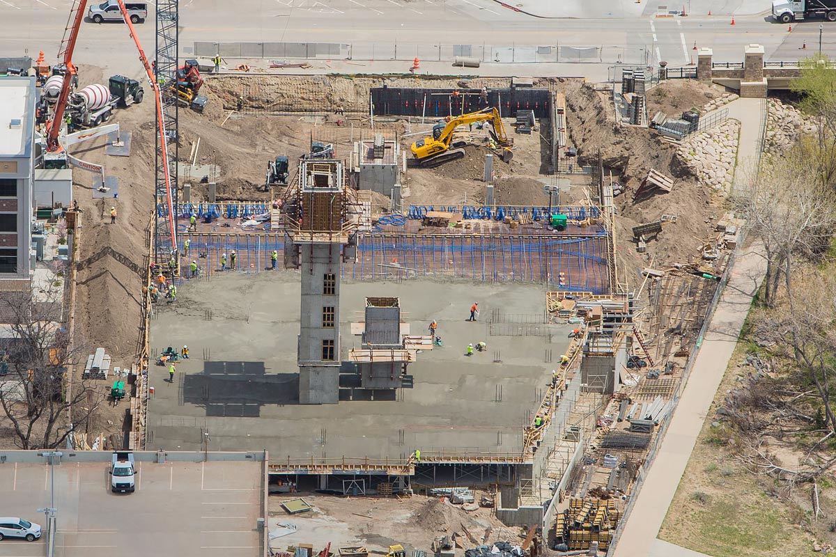
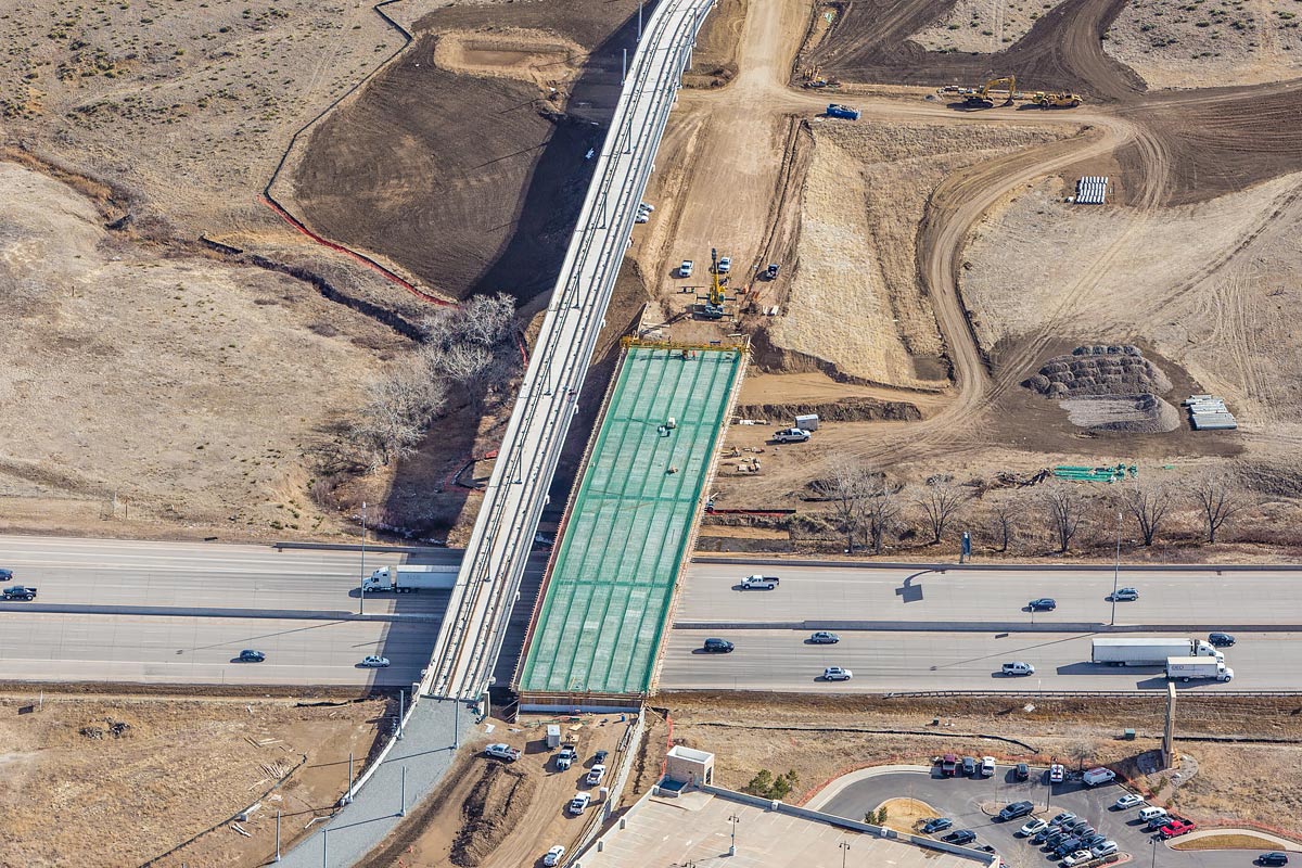
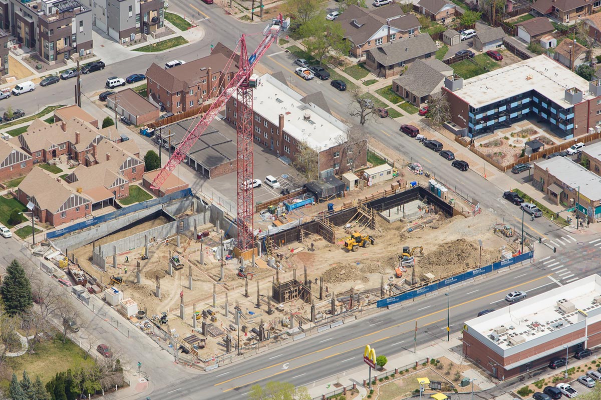
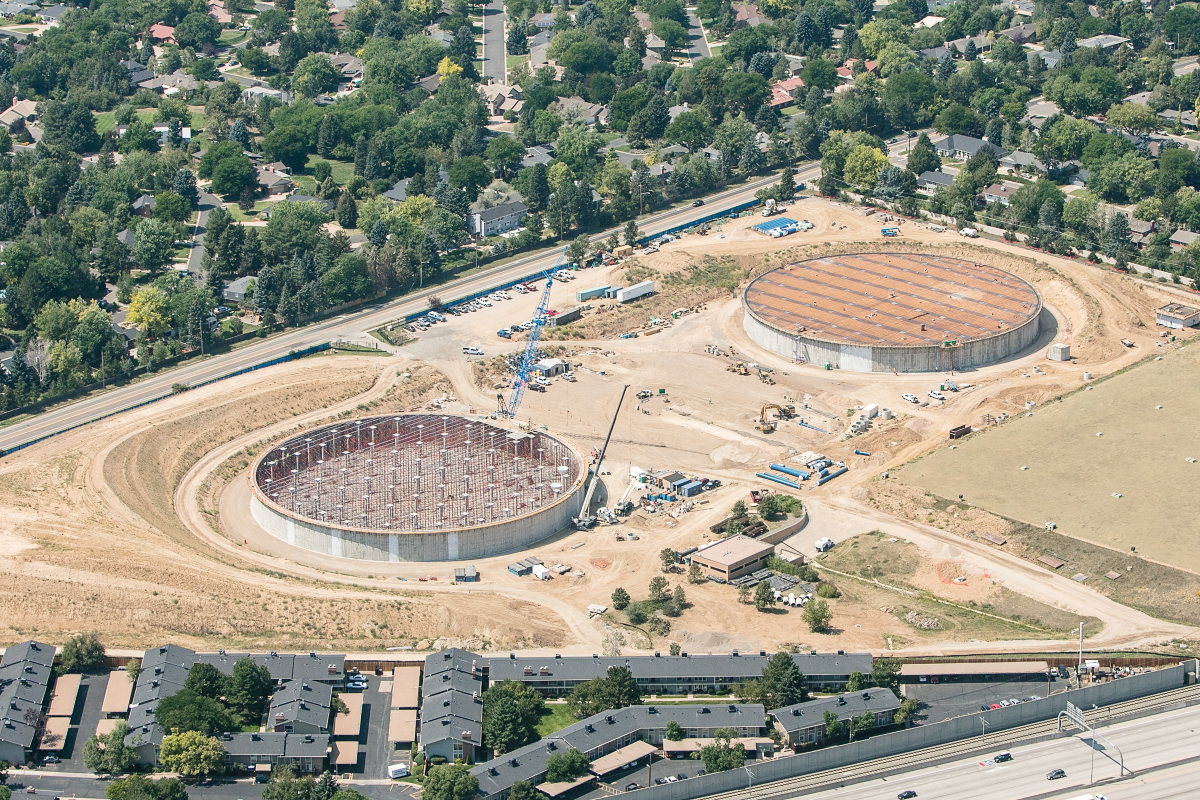
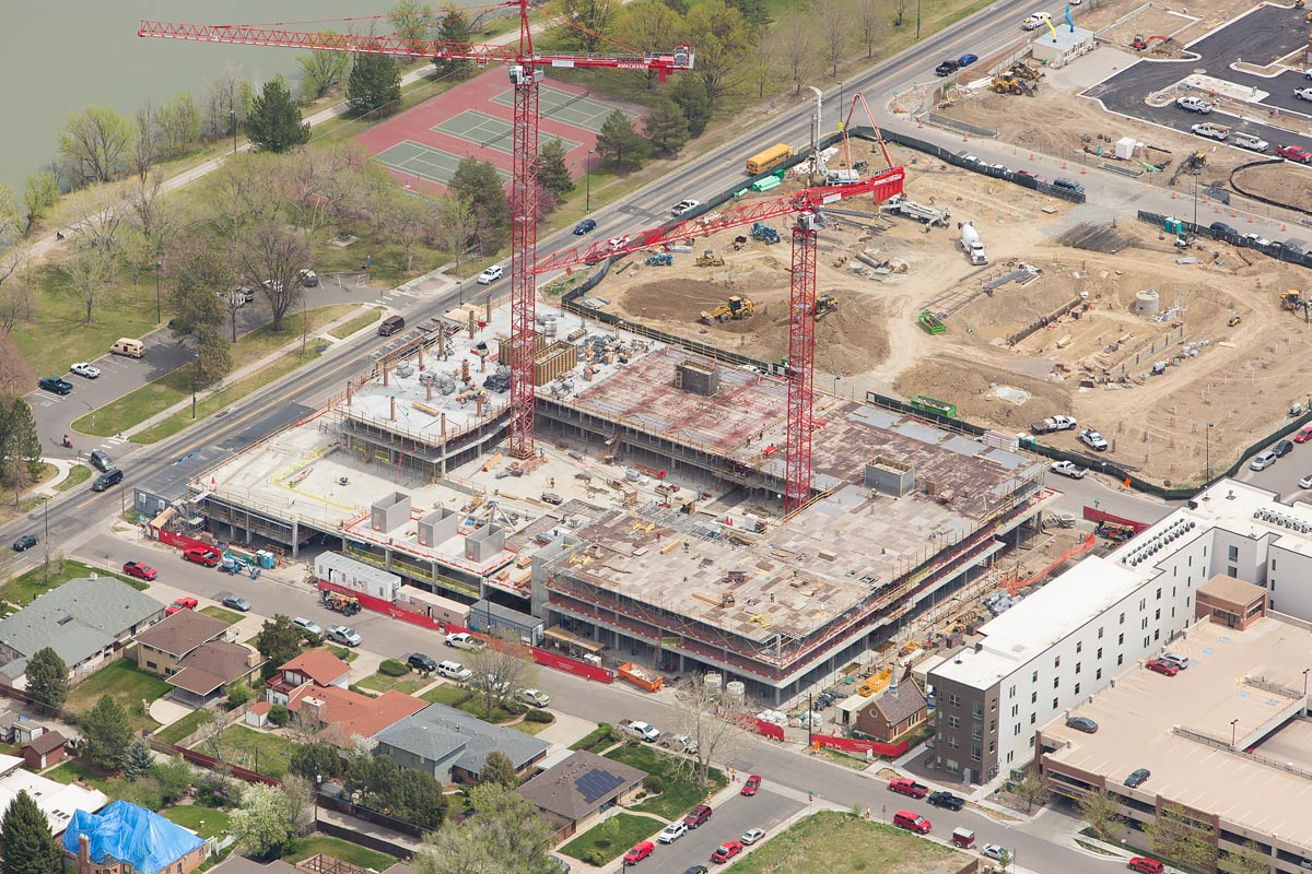
Construction progress photography service includes complete aerial photography coverage of your job site taken on a consistent schedule.
Our Construction Progress Photography
We can provide higher resolution with our aircraft
Our Construction Progress Photography: Colorado Aerial Photography and Mapping has many years of experience serving the construction industry. Our construction progress photography service includes complete aerial photography coverage of your job site taken on a consistent schedule. Wide angle and close up views from all directions will be included. We understand that timely delivery of the imagery is vital and for that reason we always make sure the photos are available for download no later than the day after the flight. In special circumstances we can offer same day service.
We offer both drone and traditional aircraft service. One benefit of using the aircraft is that the camera is substantially higher resolution than any camera found on a drone. Additionally, some companies prefer to have photography taken from the aircraft so that there is no need to have a drone operator on site, possibly endangering him/herself or others.
Your Project
And working with you
The typical project for us starts with an in-depth phone conversation identifying the client’s needs and site location. In most cases all we need is a physical address of the subject to be photographed, but a readily available satellite image such as Google Earth or Apple Maps is helpful. We will then fly on the agreed upon start date and continue on the set schedule. Weather can have an impact and prevent us from flying on the scheduled date. When this occurs we will fly as soon as safely possible thereafter.
When we return to the office from flying, the editing and production process begins. Normally we will upload the photos in the evening after the flight so they are available when our client arrives to their office the next morning. We guarantee that you will have your imagery delivered no later than the day after we photograph the site.
We do not require a deposit to get stated. Billing is done via invoice on a net 30 basis. We accept check or credit card payments as well as Pay Pal.
Quality Photography
Quality is one of our Highest Priorities
Colorado Aerial Photography and Mapping’s pilot is Kent Raney. Kent is FAA licensed for all of our operations and fully insured. We understand the importance of our imagery to your business and will always prioritize safety, quality and consistent customer service.
Kent Raney has been a professional aerial photographer since 2003. The company is headquartered in the Denver, Colorado area and provides high quality aerial photography services in the Rocky Mountain and high plains regions. Nationwide service is available through our affiliation with a network of other professional aerial photographers. Kent is an FAA licensed Airline Transport Pilot with over 37 years of flying experience and is also an FAA certified UAS pilot, which allows him to operate drones for commercial purposes under Federal Aviation Regulations part 107.
Kent Raney
Commercial Pilot / Owner
