Vertical Photography & Aerial Mapping
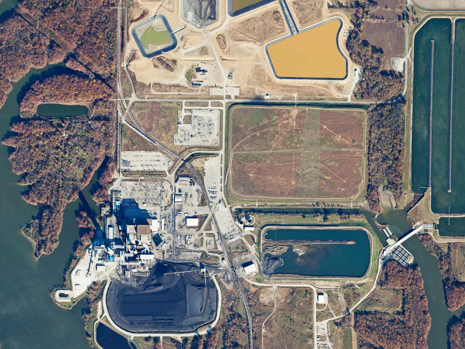
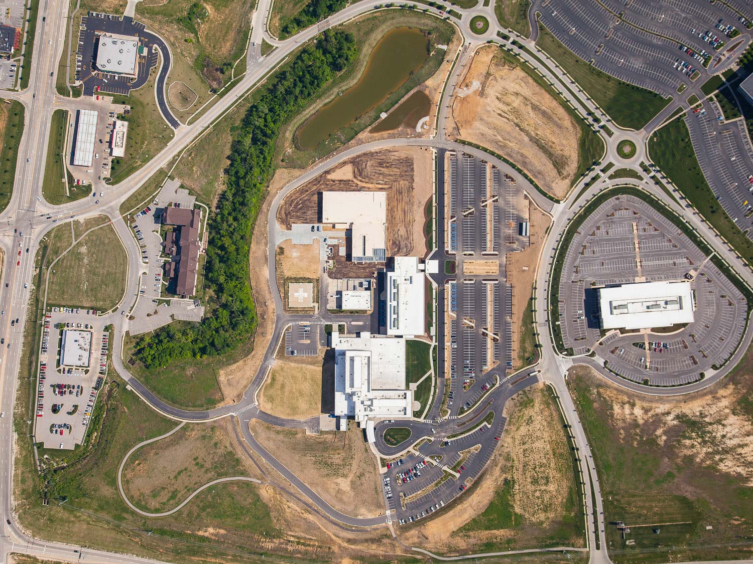
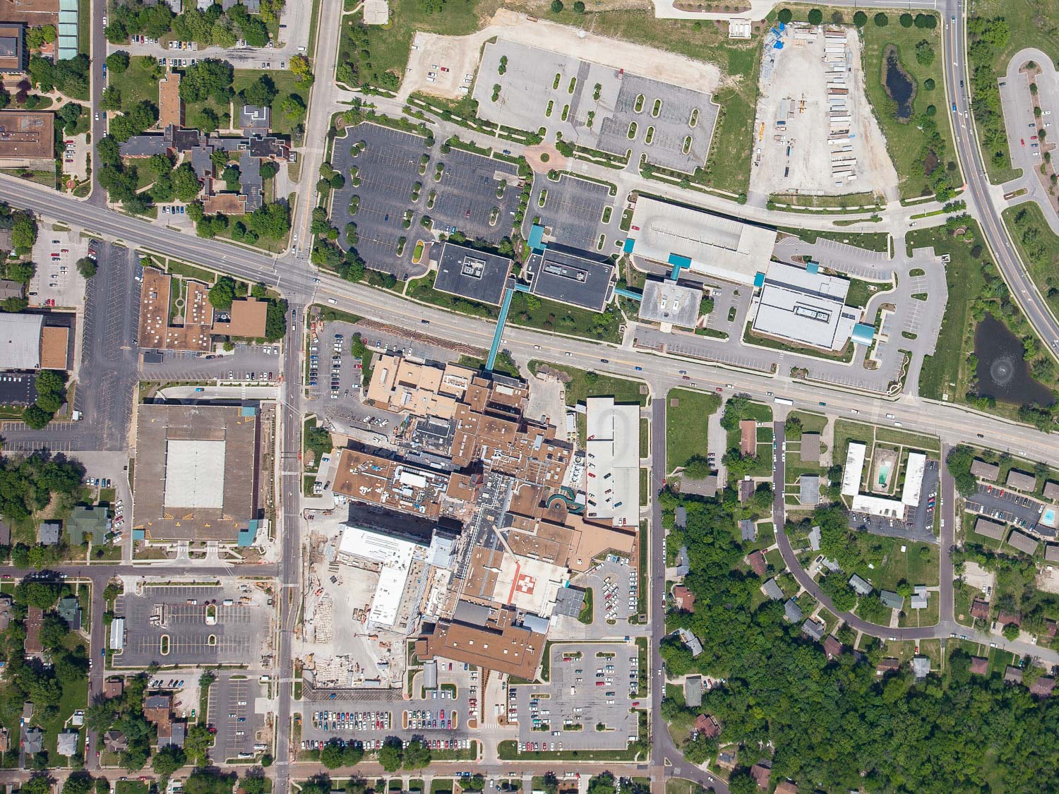
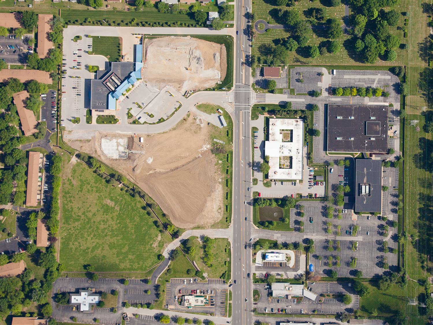
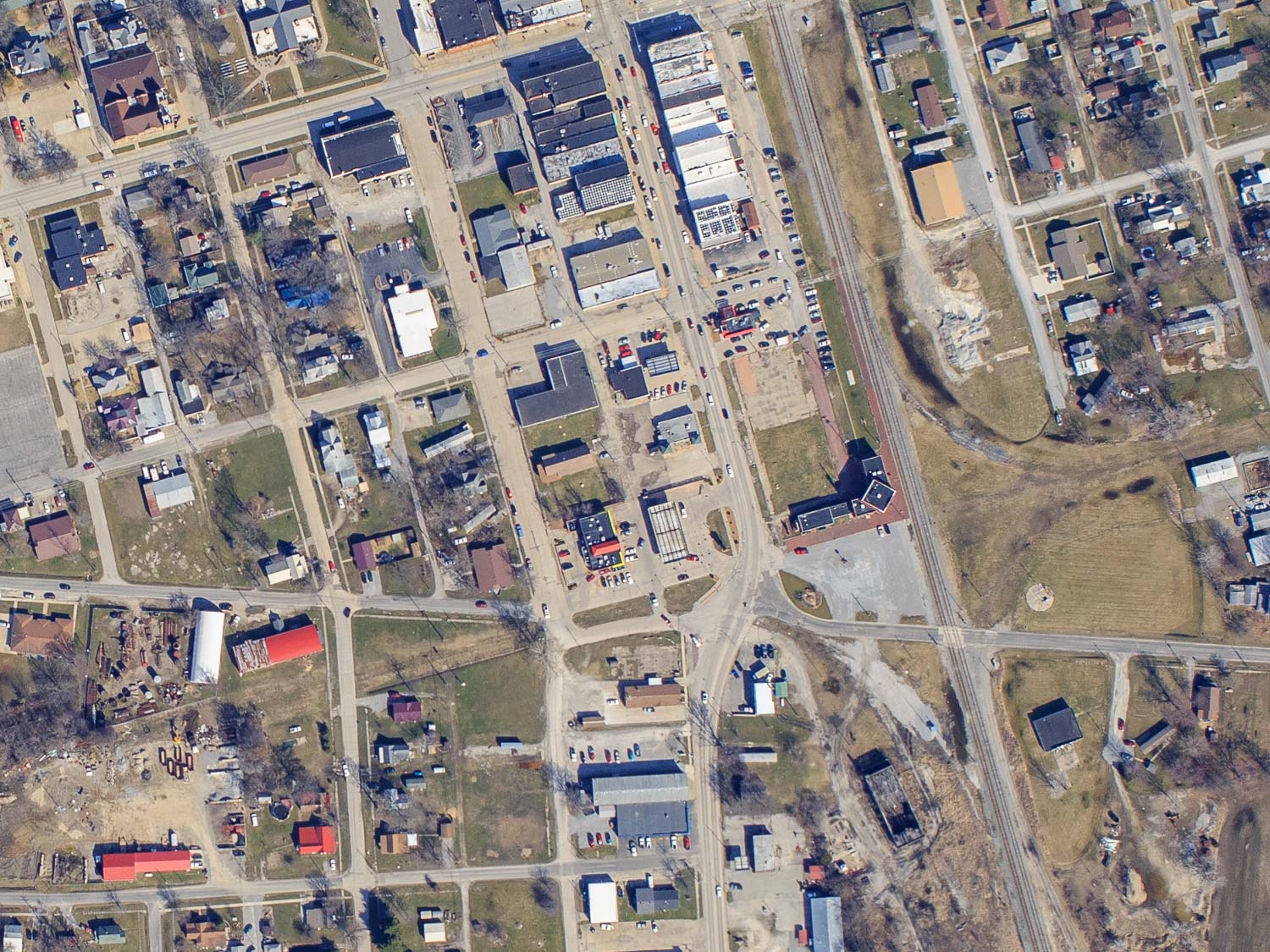
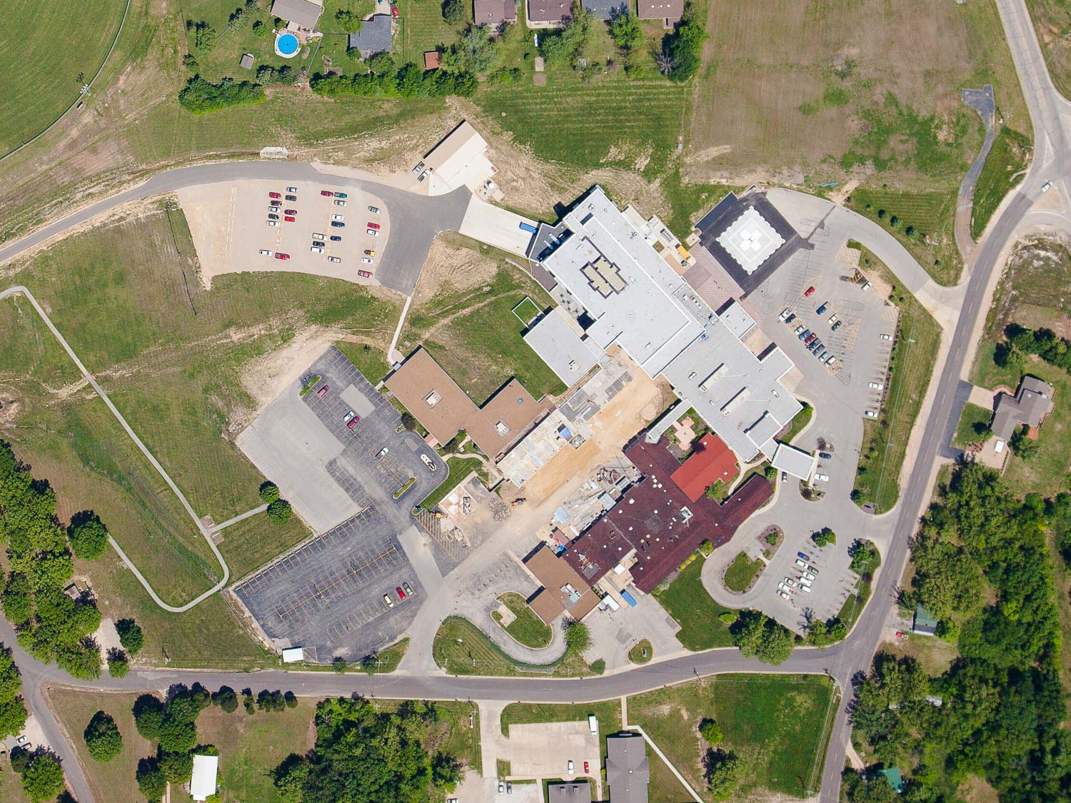
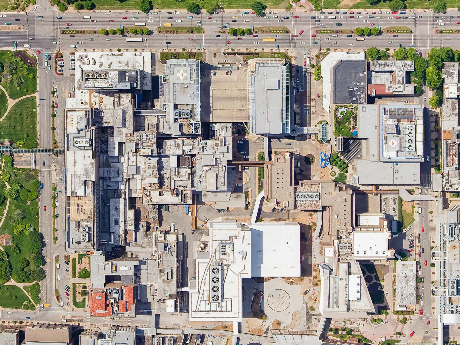
Vertical photography is captured with the camera mounted perpendicular to the ground so as to provide a straight down or “map view”.
Vertical Photography & Aerial Mapping
Captured with the camera mounted perpendicular to the ground
Vertical photography is captured with the camera mounted perpendicular to the ground so as to provide a straight down or “map view”. Our aircraft is specially equipped to capture this type of imagery. We are capable of photographing anything from small sites that can be captured in a single image up to hundreds of square miles at resolutions as high as 3 inches per pixel.
We are not a certified aerial survey company, so we cannot provide survey grade photography, but for a fraction of the cost of a survey, we can provide a very high resolution geo-referenced aerial photograph.
Resolution & Cost
Doubling the resolution requires four times more flying
The cost for vertical photography will depend on the size of the area to be photographed and the resolution required. Doubling the resolution requires four times more flying and much more computer processing work, so the cost increases exponentially as a function of resolution.
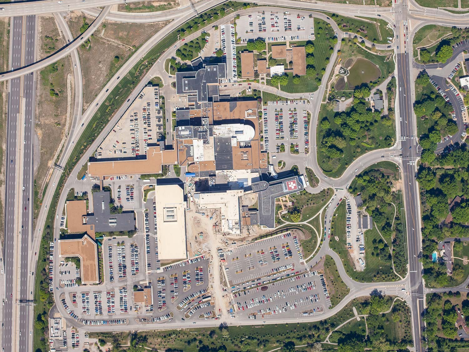
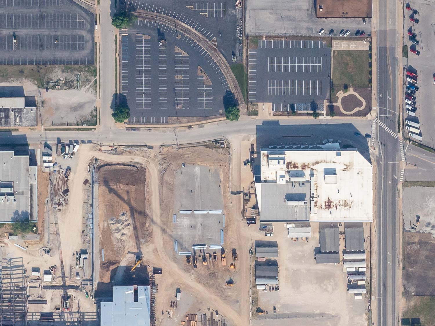
12” per pixel example photo:
This is comparable resolution to Google Earth imagery. Items such as buildings, trees, cars and roads will be easily discernible at this resolution.
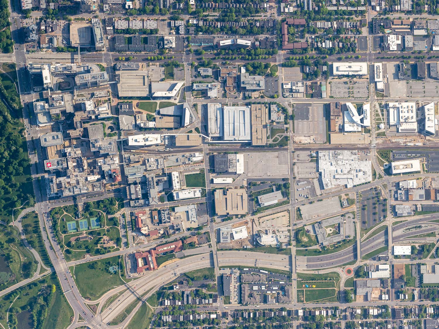
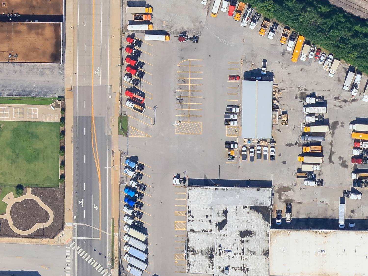
6” Per pixel example photo:
Items such as shrubs, cars vs. trucks, utility poles, crosswalks, sidewalks and pavement markings will be discernible at this resolution.
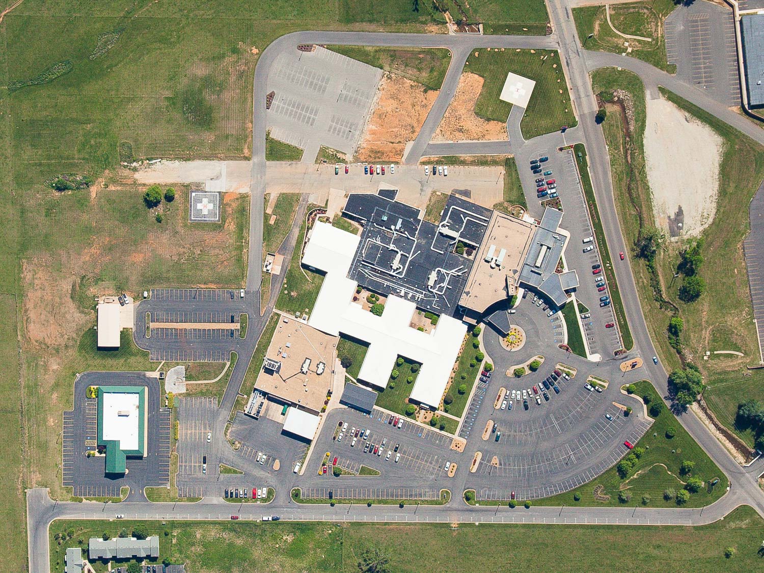
3” per pixel example photo:
Items such as power lines, pavement differences, people, waves/ripples on water are discernible at this resolution.
We do not require a deposit to get stated. Billing is done via invoice on a net 30 basis. We accept check or credit card payments as well as Pay Pal.
Vertical Imagery Uses
The possibilities are Endless…
Some of the subjects that we have photographed using our vertical system include: construction sites, events, real estate, entire cities, roofs, power lines, utilities, pipeline routes, irrigation analysis, wildlife surveys, environmental surveys, traffic survey, roads and highways, bridges, crops, mines, power plants, parks, cemeteries, petroleum storage facilities, dams, demolition projects, disaster sites, resorts, golf courses, hospitals, stadiums, parks, universities, airports, amusement parks, apartment complexes, auto dealers, casinos, churches, horse farms, ranches, race tracks, boat clubs, landfills, shopping malls, tree farms, nurseries, quarries, railroad yards, schools, ski resorts, gun clubs, and water treatment facilities. The possibilities are endless.
We can utilize our drone to capture 3D imagery of small locations (approximately 100 acres or less). These images show topographical detail and the sides of buildings. Another use of the 3d imagery is measuring quantity of material in stock piles. Depth of quarries, mines, etc.
Working with You
Planning to delivery
The typical project for us starts with an in-depth phone conversation identifying the client’s needs. In most cases all we need is a physical address of the subject, but a readily available satellite image such as Google Earth or Apple Maps is helpful. We will then fly on the next available day with suitable weather for the project.
Our goal is to provide fast turnaround time and quality photography. Processing time can very greatly depending on the size of the vertical photography project. A smaller site requiring only a handful of images to be stitched together can be accomplished in as little as 24 hours. A large multiple square mile area can take upwards of one to two weeks to produce. The primary limitation to providing our service on time is the weather. Fortunately we have plenty of sunshine in Colorado, so we are rarely delayed more than a day or two based on weather.
We do not require a deposit to get started. Billing is done via invoice on a net 30 basis. We accept check or credit card payments as well as Pay Pal.
Colorado Aerial Photography and Mapping has a company pilot that is FAA licensed for all of our operations and fully insured. We understand the importance of our imagery to your business and will always prioritize safety, quality and consistent customer service.
